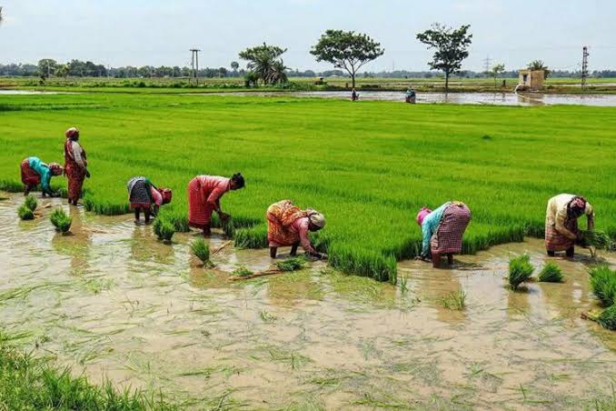
Hyderabad: Chief Minister K Chandrashekhar Rao directed the officials to launch a digital survey of agricultural lands in the State, to fix their boundaries with geographical coordinates. Accordingly, a pilot project will be launched on June 11 in 27 select villages across the State including three villages from the Chief Minister’s Gajwel Assembly constituency.
In a meeting with the representatives of digital survey agencies held at Pragathi Bhavan on Wednesday, the Chief Minister discussed modalities for conducting the digital survey of agricultural lands and it’s objective for strengthning the land records to protect the rights of their land owners. He stated that the Dharani portal was launched to protect the land rights of the poor in the State and the digital survey was part of this objective to build a Telangana State without land disputes for the
“The government wants to conduct the digital survey of agricultural lands to identify as well as fix their geographical coordinates to protect the rights of the Pattadars over the land on a permanent basis. This work should be carried out successfully with a service orientation rather than a business perspective, in our efforts to protect the agricultural lands of the poor,” he said.


